(Wish you were here, part II)

Nashawannuck. The name is apparently Algonquian for “Valley of the Little River.” The “Little River” was probably the Manhan — another local Native American appellation. Ironically, the Manhan doesn’t feed Nashawannuck Pond, that large body of water that dominates the Cottage Street district of Easthampton. Scenic it may be, but its original purpose was industrial. Over the course of several decades of the 19th century, Samuel Williston and his associates dammed a small stream to create a power source for the complex of textile mills that sprung up around Williston’s button and elastic factories. In what was surely an unusual idea for its time, the sluice that drove the water wheels passed directly under the factory buildings and fed a collection pond behind them, on Pleasant and Ferry Streets.

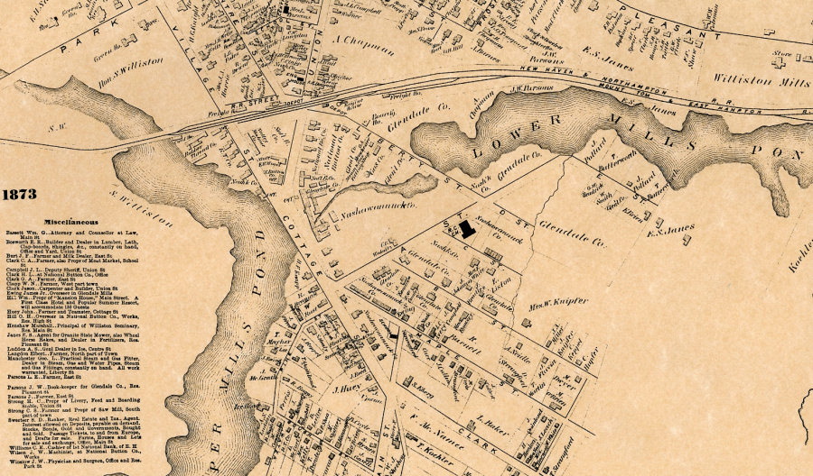
The work was accomplished in stages. This 1873 map shows a single body of water — the “Upper Mill Pond” had not yet been named “Nashawannuck” — divided only by a railroad causeway. A few years later a small dam was built just above the railroad, creating Williston Pond. Williston Avenue, incorporating another dam, was built, extending across the pond from the intersection of Village Street (now Payson Avenue), Union Street, and Cottage Street, thus isolating what became known as the Rubber Thread Pond, which remains behind the modern-day City Offices. The result was a system comprising four ponds at descending levels. (Click for a current map.)
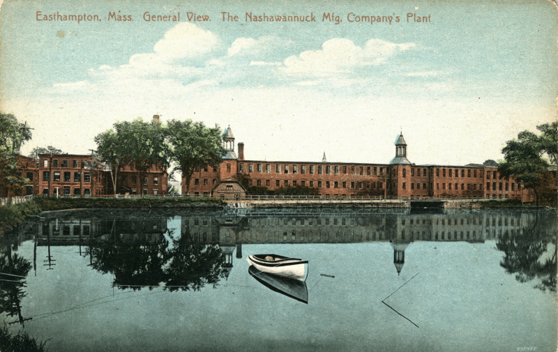
The entrance to to the spillway is clearly visible right of center, in the postcard image below.

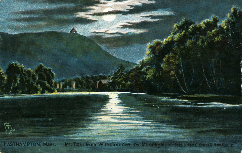
While Samuel Williston’s intentions in creating the pond may have been practical, recreational and scenic implications soon came to the fore. Samuel and Emily Williston donated a large tract of land known as “Brookside” to the town. It was mostly wooded, and abutted Nonotuck Park. Eventually it was developed as a cemetery, but remains a lovely spot. Boaters, including a short-lived Williston Seminary rowing team, swimmers, and fishermen used the pond. In a town dominated by textile mills, whose employees typically worked six 12-hour days or more, it became an essential part of community culture. Continue reading


